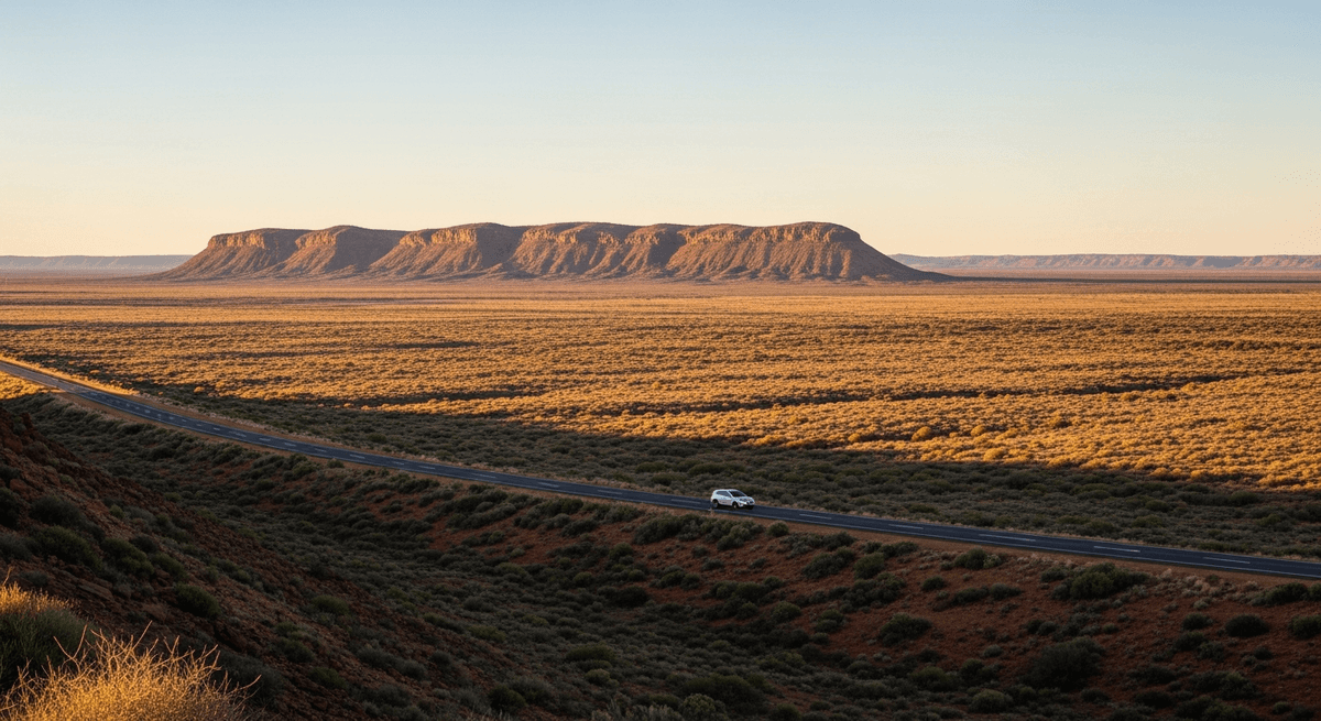

There exists, among the pantheon of great drives, a curious breed that appeals to the soul rather like a particularly austere monastery appeals to the spiritually adventurous: with promises of revelation through deliberate hardship and the sort of profound emptiness that modern life rarely provides. The Eyre Highway across the Nullarbor Plain belongs emphatically to this category, stretching 1,200 kilometres between Ceduna in South Australia and Norseman in Western Australia through a landscape that reduces the word "flat" to a pitiful understatement, like describing the ocean as "damp."
The Nullarbor, from the Latin for "no trees" (a name delivered with the linguistic precision of a continent that has never seen the point in false advertising), represents the world's largest limestone karst plateau, extending to every horizon with the absolute commitment of a surface that considers geographical variety to be rather showing off. This particular road trip, running roughly 2,200 kilometres from Adelaide to Perth via the great Australian nothing, requires approximately four days of driving and a temperament that finds beauty in vastness rather than ornament. One either understands this appeal immediately or one should probably stick to the Great Ocean Road or other coastal routes.
The Route: A Study in Magnificent Emptiness
The complete Adelaide to Perth crossing via the Nullarbor covers approximately 2,200 kilometres of sealed highway, requiring a minimum of four driving days though five allows for proper appreciation and reduces the likelihood of developing what locals call "highway hypnosis." The optimal season runs from April through October, when daytime temperatures hover in the civilized 20 to 25 degree range rather than the summer's brutal 45 degrees that transforms car interiors into mobile furnaces.
The route follows the A1 Eyre Highway west from Adelaide through the Eyre Peninsula to Ceduna, then across the Nullarbor Plain proper to Norseman, before continuing to Perth via Coolgardie and Southern Cross. Total driving time sits at roughly 24 hours, not accounting for fuel stops (mandatory), meal breaks (advisable), and the extended contemplative pauses that the landscape seems to demand (inevitable). The highway maintains excellent condition throughout, sealed and well maintained, though one travels for hundreds of kilometres between services with the sort of spacing that makes fuel planning less suggestion than survival strategy.
Adelaide: The Civilized Beginning
Adelaide provides the ideal launching point for this exercise in automotive endurance, offering final opportunities for proper coffee, decent bookshops, and the sort of urban amenities that will seem magnificently extravagant by journey's end. The city's grid layout and surrounding parklands create an atmosphere of measured calm that serves as psychological preparation for the vastness ahead, rather like a final meditation before entering the monastery.
Stock up at the Central Market, where local produce reaches heights of excellence that render roadhouse cuisine an exercise in comparative anthropology. The National Wine Centre offers tastings of South Australian varieties that will provide pleasant evening reminiscence during roadhouse stays. Henley Beach provides a final glimpse of civilization's ornamental side, with its Victorian era jetty extending into Gulf St Vincent like a farewell gesture to the decorated world.
For accommodation, the Adelaide Rockford offers heritage charm in the city center, while the Oval Hotel provides modern comfort near the Adelaide Oval. Departure should occur early morning to maximize daylight hours, as the Nullarbor rewards those who can observe its subtle changes throughout the day rather than rushing through under darkness.
Ceduna: The Last Town Before Forever
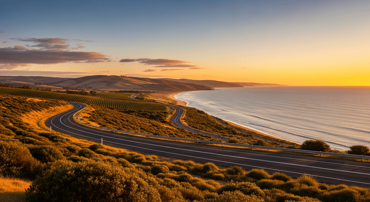
Ceduna marks the final outpost of what most Australians would recognize as conventional town life, perched on the western edge of the Eyre Peninsula like a frontier settlement that has made peace with its role as civilization's last stand. The town of 4,000 residents serves as the traditional launching point for Nullarbor crossings, offering final supplies, fuel, and accommodation before the great emptiness begins in earnest.
The Ceduna Oyster Bar deserves specific mention for serving Pacific oysters with a view across Murat Bay that provides contemplative preparation for the journey ahead. These oysters, cultivated in the pristine waters of the Great Australian Bight, offer a final taste of oceanic luxury before the interior's more austere pleasures. The Ceduna Arts and Cultural Centre displays local Aboriginal art that provides cultural context for the ancient landscape ahead.
The town's foreshore walk extends along Murat Bay with interpretive signage explaining the area's maritime history and the whale migrations that pass offshore. Fuel up completely here, check tire pressure with religious devotion, and stock water and emergency supplies. The Ceduna Community Hotel Motel provides comfortable accommodation with the added charm of serving as informal headquarters for Nullarbor travelers comparing routes and sharing survival stories with the camaraderie of arctic explorers.
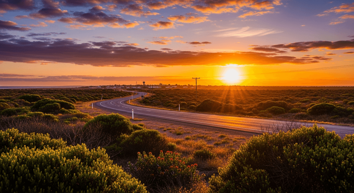
The 90 Mile Straight: Meditation on Infinity
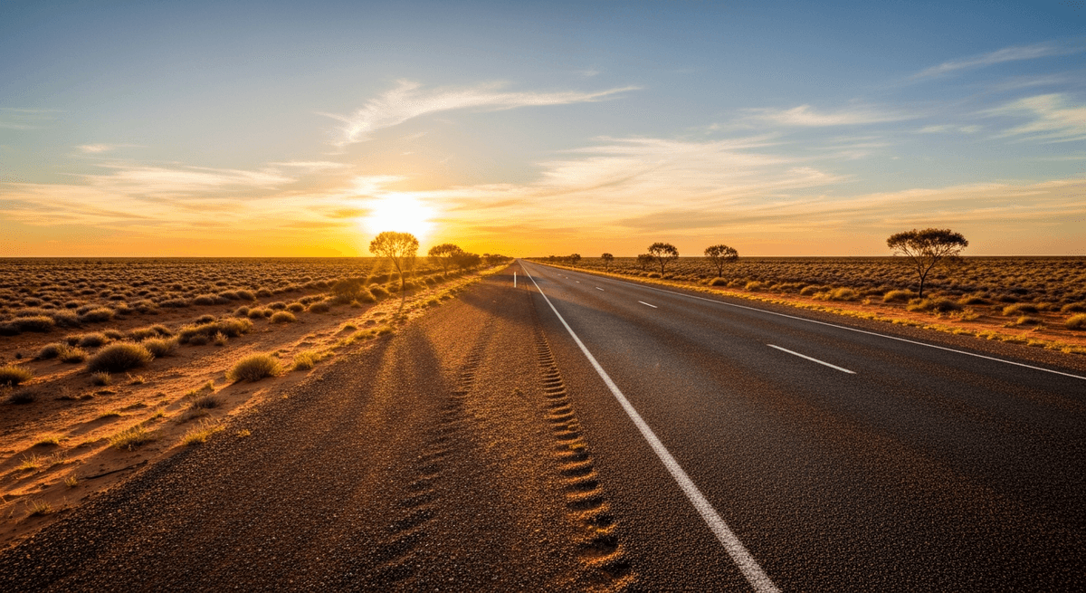
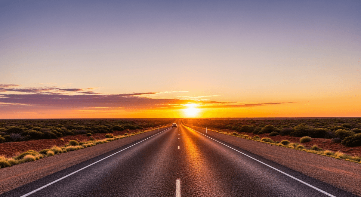
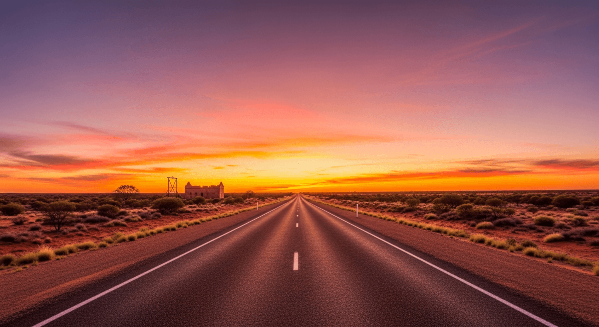
The 90 Mile Straight, stretching 146.6 kilometres without a single curve, represents the Nullarbor's most celebrated feature and provides an experience that reduces most travelers to philosophical contemplation. This longest straight road in Australia extends across the plateau with the unwavering commitment of a Roman highway built by engineers who considered deviation a character flaw. One drives it not so much as a road but as a theorem about distance made manifest.
The straight begins approximately 30 kilometres east of Balladonia and continues with mathematical precision toward the horizon, creating an optical illusion where the road appears to rise into the sky at its vanishing point. Road trains appear as distant specks and grow to monstrous proportions over the course of several minutes, their approach measured in geological time before their thunderous passage returns the landscape to its customary silence.
Halfway along, a roadside marker commemorates the straight's significance with the sort of understated pride that marks Australian monument building. The landscape here achieves a purity of emptiness that city dwellers find either transcendent or terrifying, with saltbush extending in all directions like a vast green carpet punctuated by the occasional limestone outcrop. Wildlife includes echidnas, wombats, and wedge tail eagles soaring on thermals with the patience of creatures who understand that in this landscape, everything operates on expanded time scales.
Plan this route with GPSSquad
AI powered itineraries, expense splitting, and group coordination in one app.
Start Planning FreeBunda Cliffs: The Edge of the World
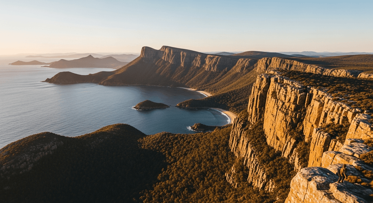
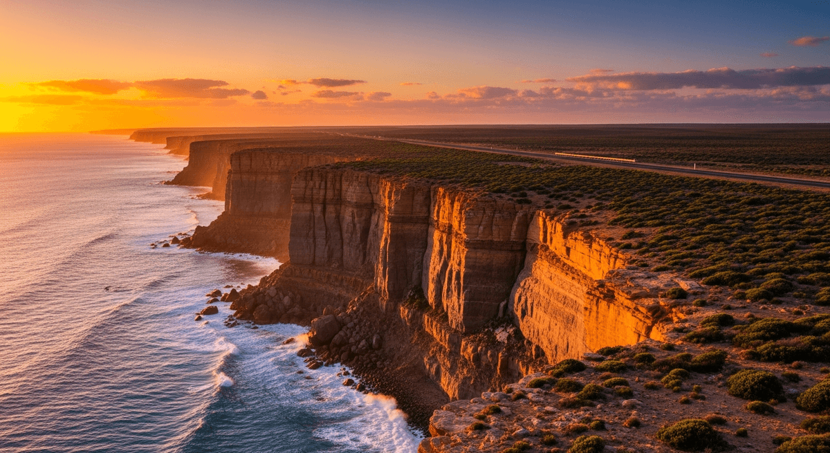
The Bunda Cliffs section, running 160 kilometres between Nullarbor Roadhouse and the Western Australian border, transforms the journey from an exercise in terrestrial monotony into something approaching the sublime. Here the Nullarbor Plain terminates abruptly at limestone cliffs dropping 70 to 90 metres directly into the Southern Ocean, creating a coastline that appears designed by a deity with a taste for dramatic gestures and minimal ornamentation.
Multiple viewing points provide access to cliff edges where the immensity of the Southern Ocean spreads southward toward Antarctica with nothing but water and weather between observer and ice. The cliff faces, carved by thousands of years of wave action, create caverns and arches visible from above, while blowholes send spray columns skyward during rough weather with the regularity of geological clockwork.
Between June and October, southern right whales calve and nurse in the protected waters directly below the cliffs, providing the most improbable wildlife viewing opportunity in Australian road travel. These massive mammals, visible from the cliff edge with binoculars or, on calm days, with the naked eye, breach and play in waters so clear their movements can be tracked from 80 metres above. The Head of Bight viewing area, managed by the local Aboriginal community, provides interpretive facilities and whale watching platforms that elevate this natural spectacle into something approaching the sacred.
Border Village: The Halfway Point Oasis
Border Village, straddling the South Australia and Western Australia boundary, functions as the Nullarbor's unofficial capital, a roadhouse settlement that has evolved into something resembling a town through the simple expedient of providing everything travelers need exactly when they need it most. The complex includes fuel, accommodation, dining, and a museum dedicated to the Nullarbor crossing experience, all surrounded by sculptures and displays that celebrate the highway's peculiar culture with the devotion of a shrine to automotive endurance.
The Border Village Museum houses an eclectic collection of Nullarbor memorabilia, including vintage roadhouse signs, photographs of early crossings, and displays explaining the engineering challenges of maintaining a sealed highway across a limestone plateau where underground rivers create sinkholes with the unpredictability of geological practical jokes. The adjacent sculpture garden features installations created from automotive debris and roadhouse equipment, achieving a form of industrial folk art that could only emerge from the marriage of isolation and necessity.
The roadhouse restaurant serves meals that transcend the institutional cuisine one might expect, with barramundi and kangaroo prepared with surprising competence. Evening brings an extraordinary display of stars unfiltered by urban light pollution, creating a celestial show that renders most planetariums redundant. The accommodation, while basic, provides clean comfort and the opportunity to meet fellow travelers whose conversation topics tend toward the philosophical after several days of Nullarbor driving.
Eucla: Telegraph Station Ruins and Time's Passage
Eucla, a tiny settlement near the Western Australian border, guards one of the Nullarbor's most poignant historical sites: the ruins of the old Telegraph Station, half buried in white sand dunes that advance and retreat with the patience of natural forces measuring time in centuries rather than decades. These ruins, remnants of the 1870s telegraph line that first connected eastern and western Australia, provide tangible connection to the era when crossing the Nullarbor represented genuine exploration rather than challenging road trip.
The telegraph station operated from 1877 to 1929, when improved technology rendered its isolation unnecessary, leaving behind stone foundations and scattered machinery that the shifting sands alternately reveal and conceal. The site requires a short walk from the modern roadhouse through landscape that changes character entirely once the highway disappears behind rolling dunes. Here the Nullarbor reveals its more intimate scale, with native vegetation creating microclimates and the Southern Ocean visible through gaps in the coastal scrub.
Late afternoon light transforms the ruins into something approaching art installation, with golden limestone contrasting against white sand and the deep blue of the Southern Ocean beyond. The Eucla Motor Hotel provides comfortable accommodation and meals featuring local seafood, while the adjacent weather station continues the settlement's tradition of monitoring conditions across this most challenging section of the Australian continent. The site exemplifies the Nullarbor's ability to reduce human ambition to archaeological curiosity while maintaining its own geological serenity.
Practical Planning: Embracing the Logistics of Emptiness
The Nullarbor crossing demands preparation with the thoroughness of polar exploration, though the hazards involve dehydration and mechanical failure rather than frostbite and crevasses. Fuel planning operates as the fundamental constraint, with roadhouses spaced 100 to 200 kilometres apart and no alternative sources between. Carry a minimum 20 litre reserve regardless of vehicle range, as roadhouse fuel pumps occasionally malfunction with the timing of Murphy's Law made manifest.
Water requirements extend beyond normal travel needs due to the arid climate and potential for extended roadside stops. Carry 10 litres per person beyond drinking supplies, along with basic tools, spare tire (properly inflated), jump leads, and emergency food. The Royal Automobile Association publishes detailed Nullarbor guides updated annually, essential reading that covers everything from road conditions to roadhouse operating hours with the precision of military logistics.
Accommodation requires advance booking during peak season (school holidays and Easter), as roadhouse rooms number in single digits rather than dozens. Self contained camping provides additional flexibility, with designated areas at most roadhouses equipped with basic facilities. Budget approximately $150 per person per day including fuel, meals, and accommodation, with roadhouse meal costs reflecting their monopolistic position and the logistics of food supply across vast distances.
The optimal crossing strategy involves early morning departures to maximize daylight hours, regular stops for driver alertness, and acceptance that this journey operates on expanded time scales where rushing defeats the purpose. Weather conditions can change rapidly, particularly wind that affects vehicle handling and fuel consumption. Check conditions at the Bureau of Meteorology and roadhouse Facebook pages, which provide real time updates with the community spirit of neighbors sharing essential information.
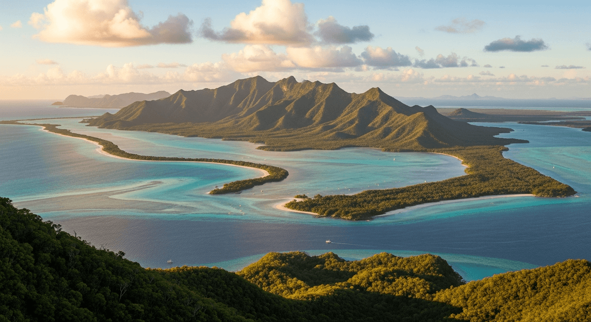
Plan this trip on GPSSquad for detailed fuel calculations, roadhouse booking information, whale watching seasonal timing, and cliff viewing coordinates that maximize both safety and spectacle. Our Nullarbor crossing plan coordinates every element from Adelaide departure to Perth arrival, ensuring you experience this singular landscape with proper preparation rather than white knuckled survival. The Nullarbor rewards those who approach it with respect for its scale and preparation for its challenges, transforming what could be ordeal into revelation. Those seeking additional Australian road trip experiences might consider the Western Australia road trip from Perth to Exmouth or the tropical beauty of a Queensland road trip through the reef country for completely different but equally compelling adventures across this vast continent.